Existing Conditions
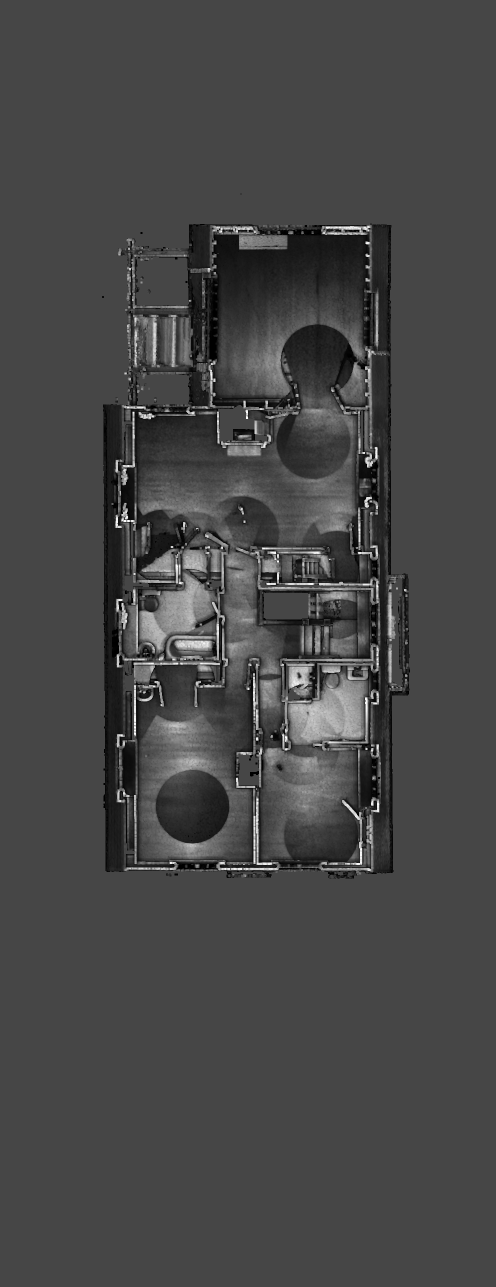
LiDAR generates millions of accurate laser measurements
Lidar scanning
BLK Lab captures existing buildings and their context using advanced LiDAR scanning, panoramic (360 view), and drone photography.
By using laser technology to measure distances and gather precise data points, lidar scanning enables professionals to produce highly detailed 3D models of existing structures and landscapes. This level of accuracy is essential for architects, engineers, and designers to make informed decisions during the planning and design phases of a project.
LiDAR scanning significantly reduces the margin of error that comes with manual measurements, leading to more efficient workflows, cost savings, and ultimately, better outcomes for construction and development projects.
LiDAR scanning is the most accurate and complete method of capturing a project and it’s site.
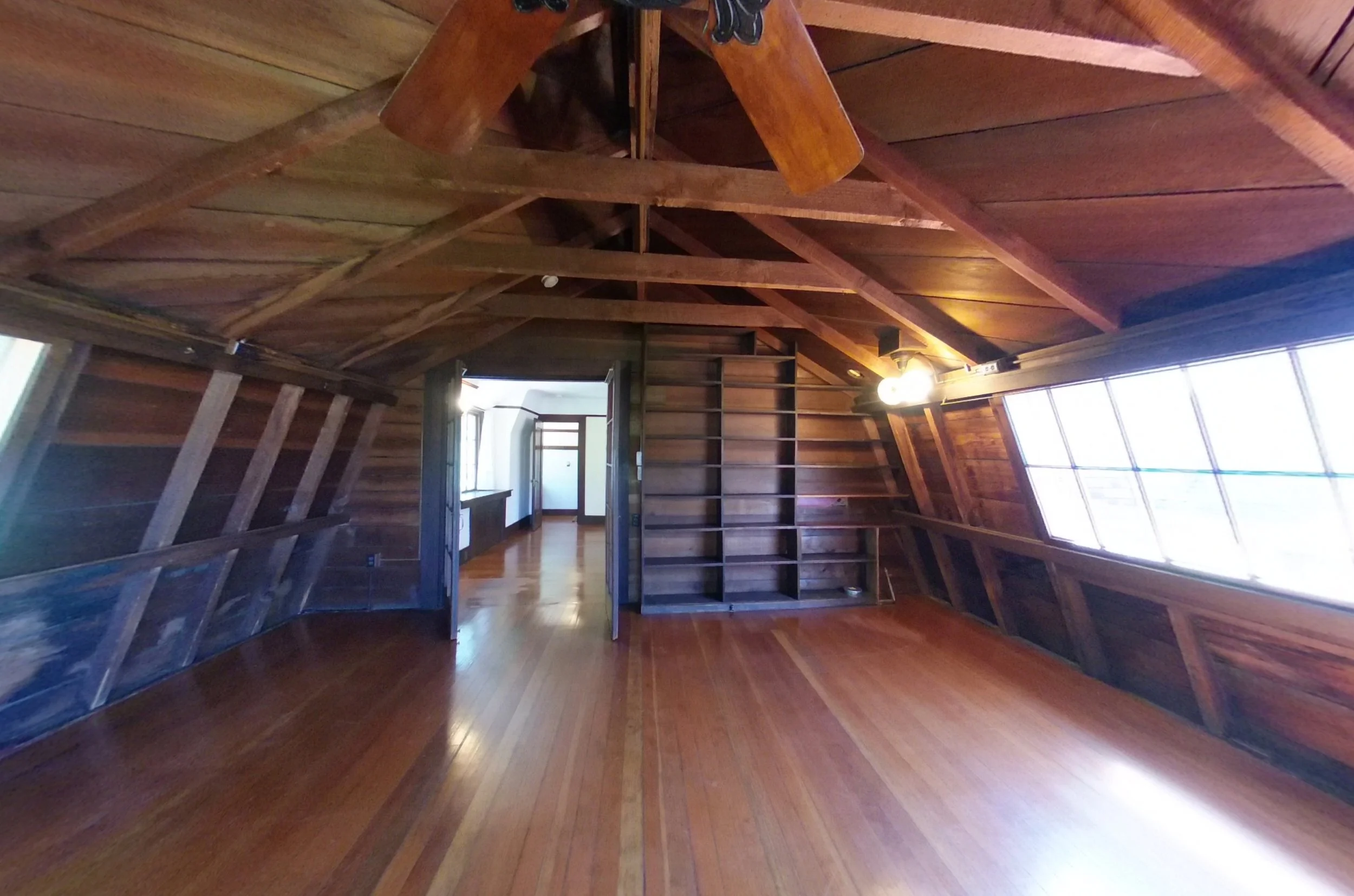
photographic documentation
Buildings and sites are thoroughly documented utilizing 360 photography to a transformative experience for users, allowing them to immerse themselves in a space from the comfort of their own surroundings.
By providing a comprehensive view of the interior and exterior, these tours enable individuals to explore every angle and detail of a building with a high degree of realism. This technology is a powerful tool for owners, architects, and property managers offering instant accessibility without the need to physically visit the location.
360 photos allow you to rotate and see in all directions
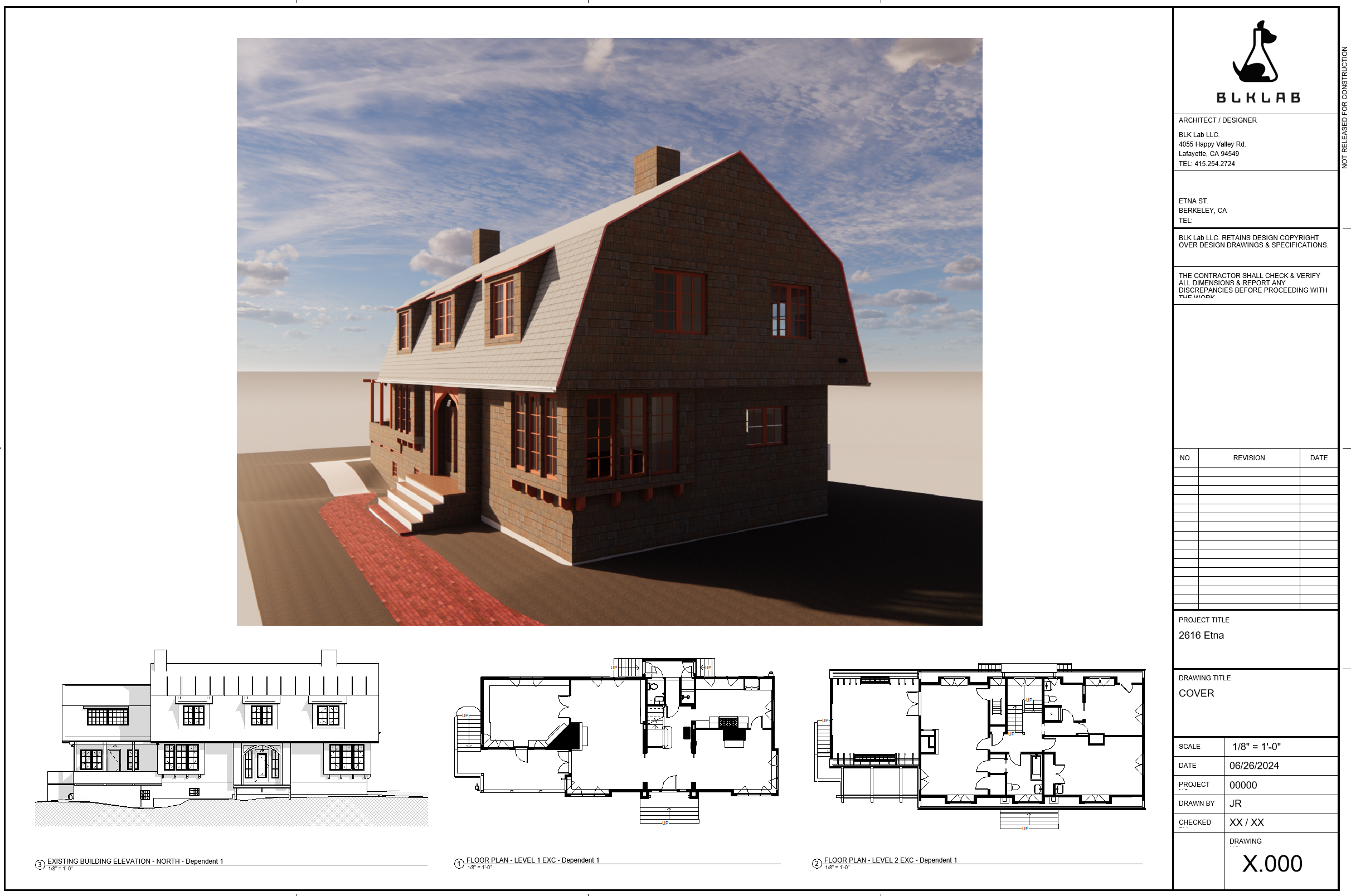
Revit, AutoCAD and Sketchup 3D and 2D existing conditions
Existing conditions plan and model generation
Existing conditions plans provide crucial documentation of the current state of a structure or space. They serve as a baseline reference for future design, construction, or renovation projects.
These plans capture precise measurements, layouts, and details that aid in accurate decision-making and planning. By offering a clear snapshot of the existing environment, these plans help minimize errors, streamline communication among stakeholders, and ensure that subsequent work aligns seamlessly with the original structure.
Existing conditions plans enhance efficiency, reduce risks, and facilitate a smooth transition from concept to reality.
Site Documentation
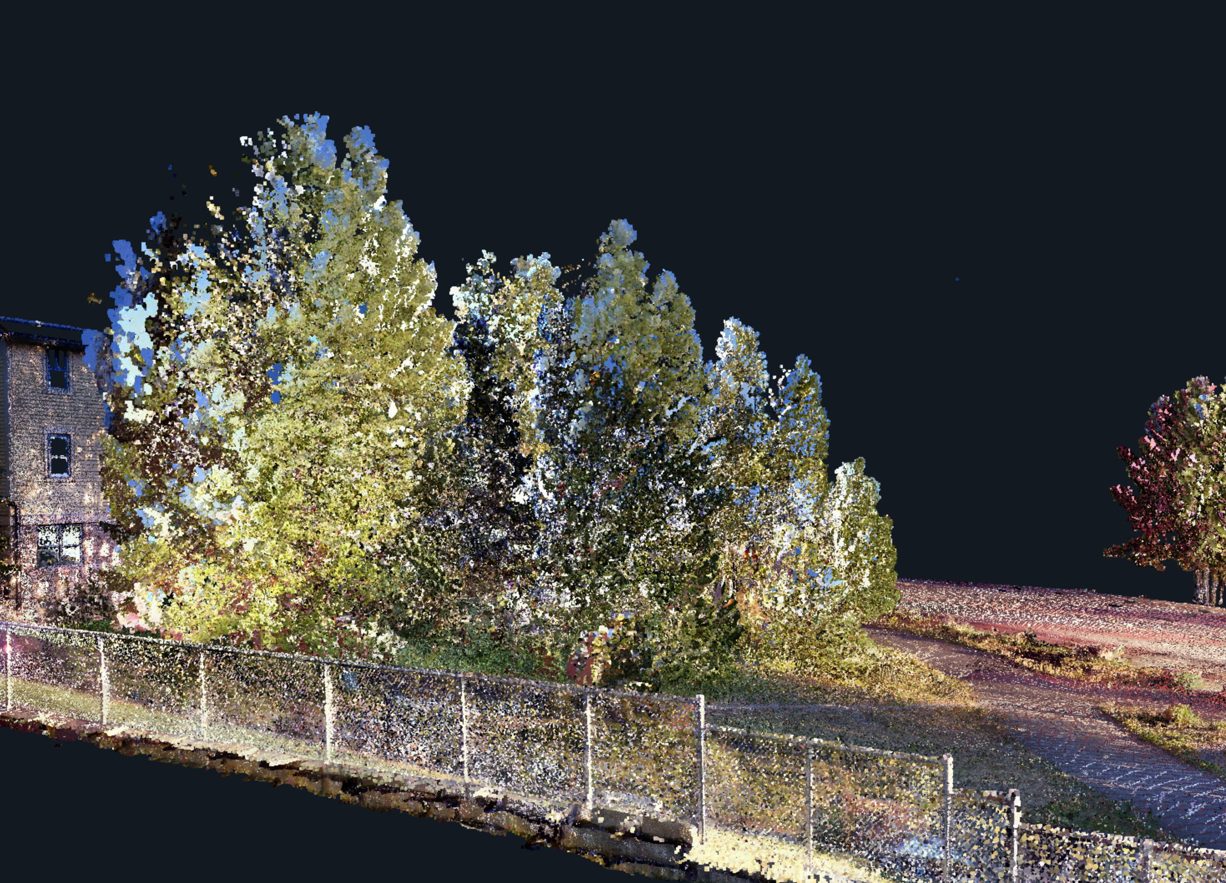
LiDAR scanning captures the shape and location of site elements including terrain, walls, trees and more. Generating topo maps and element location and size makes planning site work and simplifies communications with clients and permitting authorities.
Accurate scans of trees and neighboring structures enables quick evaluation of views and site obstructions.
Site scan with neighboring structure


